
Free
$0Free plan available.
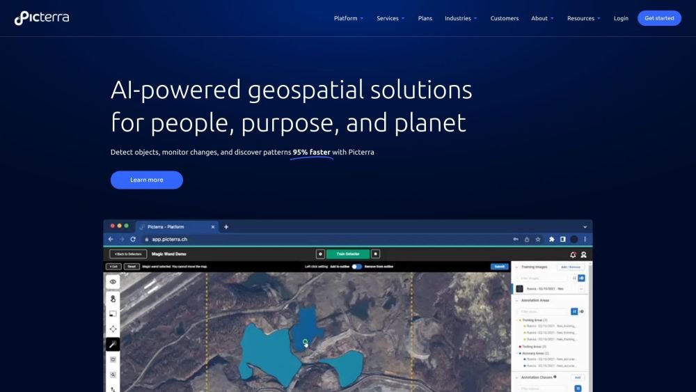
Picterra is a software platform designed for training, deploying, and managing machine learning models to analyze geospatial imagery. It enables users to detect objects, monitor changes, and discover patterns in satellite, drone, and aerial imagery up to 95% faster. Picterra offers geospatial AI solutions for various industries, helping businesses optimize workflows, detect objects quickly, and drive sustainable action.
Users upload satellite, aerial, or drone imagery to the Picterra platform, build custom AI models to detect objects, changes, or patterns, and share the results through interactive dashboards and reports. The platform also supports integrations with Esri ArcGIS Pro and Safe FME.
Picterra supports satellite, aerial, and drone data, including optical RGB, multispectral, SAR, NIR, NDVI, thermal, height maps, and oblique imagery.
Picterra provides integrations with Esri ArcGIS Pro and Safe FME, in addition to API access.
Picterra Tracer is used to validate and analyze land plots using satellite, drone, and aerial imagery, simplify compliance with EUDR and other regulations, verify carbon credits, and streamline sustainability initiatives.
Free plan available.

Similar AI tool in the AI Assistant category.
Similar AI tool in the AI Assistant category.
Similar AI tool in the AI Productivity Tools category.
Similar AI tool in the AI Assistant category.
Similar AI tool in the AI Writing Assistants category.
Similar AI tool in the AI Image Generator category.
Similar AI tool in the AI Writing Assistants category.
Similar AI tool in the AI Writing Assistants category.
Similar AI tool in the AI Chatbot category.
Similar AI tool in the AI Assistant category.
Similar AI tool in the AI Chatbot category.
Similar AI tool in the AI Assistant category.